Shelby County sees up to half-inch of snow
Published 12:42 pm Tuesday, February 16, 2021
")
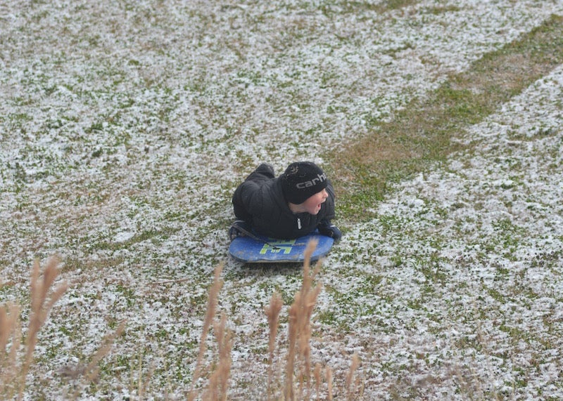
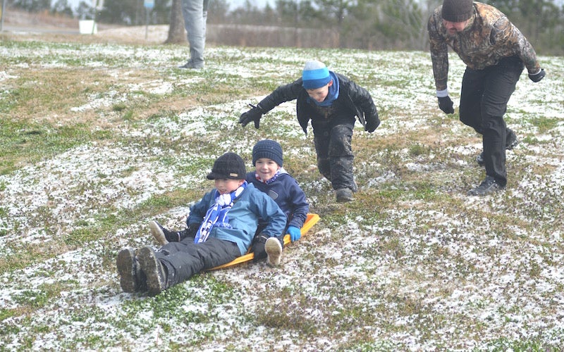
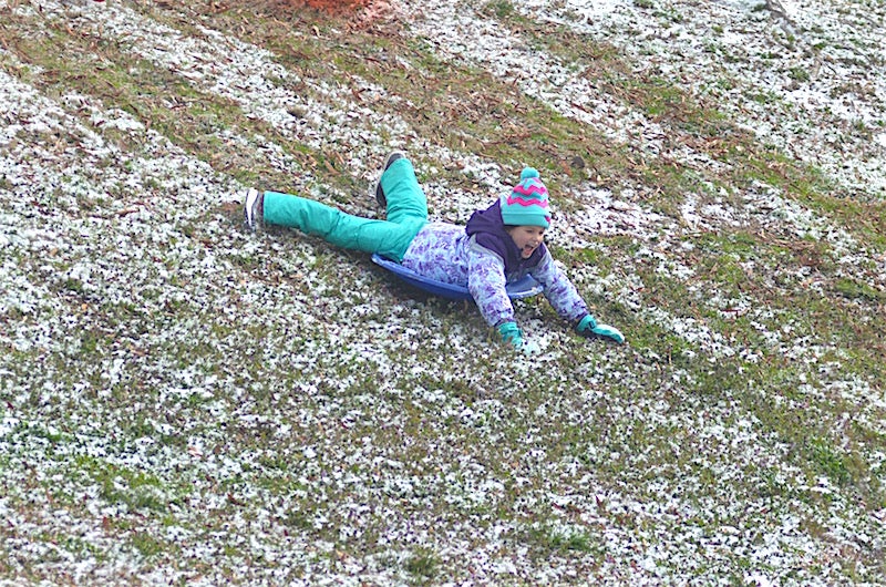
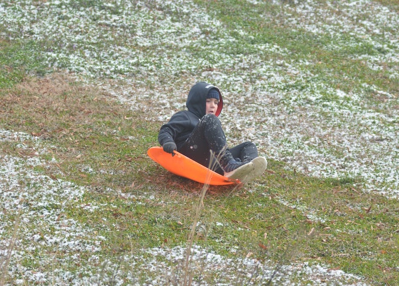
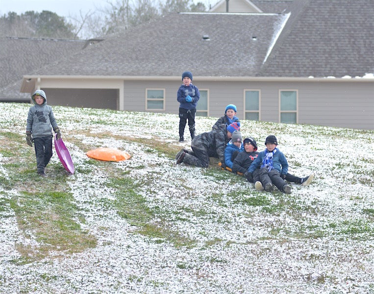
Children use the snowfall to their advantage to go sledding down a hillside near Chelsea Park Elementary School. (Reporter photos / Alec Etheredge)


|
Getting your Trinity Audio player ready...
|
By SCOTT MIMS / Staff Writer
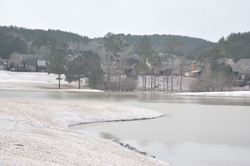
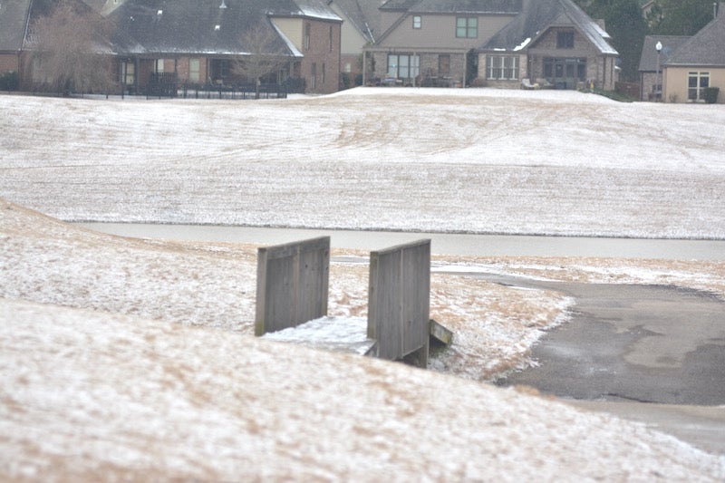
CALERA — It is perhaps the best-case scenario for snow-loving Southerners—Shelby County residents woke up to a picture-perfect dusting of snow covering their yards Tuesday morning, Feb. 16.
Flurries began moving into the area Monday night, resulting in visible accumulation by early Tuesday morning. The National Weather Service in Birmingham reported up to a half-inch maximum across the area.
“We expect that activity to begin to taper off really late this morning across the western counties and then farther southeast as we get toward noon today,” said Meteorologist Jason Holmes on Tuesday morning. “It makes for a very nice picture this morning as people wake up and look out their windows. This is very fluffy and dry so when the wind blows we’re watching it blow around.”
Holmes said even though the snow is not very sticky, it can contribute to slick spots by concealing icy patches on the road. He suggested that residents avoid travel as much as possible.
“Temperatures are still very cold. They are still in the teens to low 20s across the area,” he said. “The air mass coming through overnight into today is very dry, so what’s happening is it’s wringing out the moisture, if you will.”
An NWS winter weather advisory was expected to remain in effect until noon Tuesday.
Holmes said the current active pattern has the potential to bring another system through the area, but “nothing like what we’ve seen.” However, portions of northwestern Alabama could see more winter weather, he added.
“Down here it looks to be rain showers,” Holmes said.
More 280 Reporter


SportsPlus
How to Watch the WNBA Today | September 1
The Seattle Storm and Connecticut Sun play one another in one of five exciting matchups on the WNBA…
WNBA Betting Picks: Sunday, September 1
Planning to place some bets on today’s WNBA action? You’re in luck. We have computer predictions for every…
Atlanta Dream vs. Los Angeles Sparks Betting Odds and Matchup Preview – Sunday, September 1
The Atlanta Dream (10-21) will attempt to turn around a four-game losing skid when visiting the Los Angeles…
Where to Watch Atlanta Dream vs. Los Angeles Sparks on TV or Streaming Live – Sunday, September 1
The Atlanta Dream (10-21) will attempt to halt an eight-game road losing streak at the Los Angeles Sparks…
How to Watch the Braves vs. Phillies Game: Streaming & TV Channel Info for August 31
J.T. Realmuto and Orlando Arcia will look to continue their recent offensive production when the Philadelphia Phillies and…
-
-

-
Polls
 Loading ...


